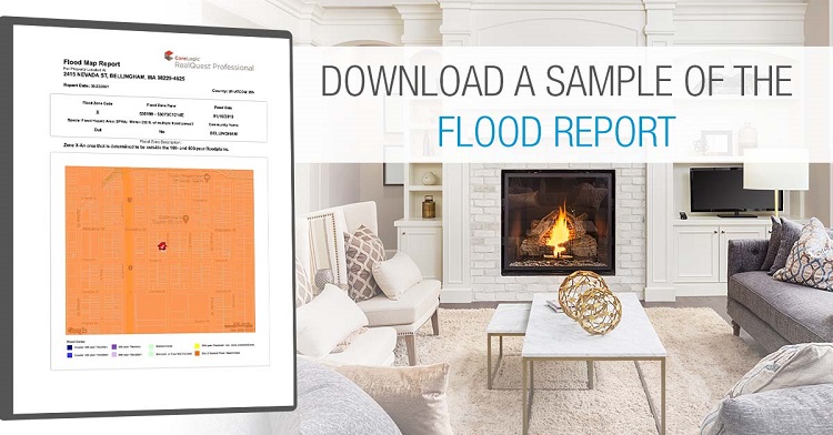
Download a sample of the Flood Report
Flood risk is ever-changing. Flood maps are one tool used to identify which areas have the highest risk of flooding and help mortgage lenders determine insurance requirements.
Flood maps show how likely it is for an area to flood. Any place with a 1% chance or higher chance of experiencing a flood each year is considered to have a high risk. Those areas have at least a one-in-four chance of flooding during a 30-year mortgage. – FEMA.gov/flood-maps
Cost: $5 per property
Click HERE to request a sample report!
Order directly from Customer Service!
If you have any questions, please contact your Sales Executive.